Neo Coquide
SKILLS:
Problem-Solving
Creativity
Self-Management
SPECIALTIES:
Full-Stack development
Artificial Intelligence
Server/System Administration
Geospatial
LANGUAGES:
French: Full Professional Proficiency
English: Full Professional Proficiency
My Story
My journey into engineering began when I turned six when I coded a snake game on my sister’s calculator, sparking my passion for coding. Over the next decade, I taught myself various computer science and mathematics concepts while pursuing a formal education in digital information systems. I initiated numerous projects for personal use and my friends. In 2023, I joined Ageospatial as a volunteer, where I learned geospatial data analysis and honed my programming skills for real-world applications.
My ambition
I see myself as a young philanthropist, aiming to use my skills and experience to develop projects with social and environmental impact. My ambition is to contribute to changing the world and promote ethical ways of approaching and developing technological solutions. I am determined to collaborate with humanitarian organizations and foundations. To achieve these goals, I plan to continue my studies in computer science at a Federal Polytechnic School.

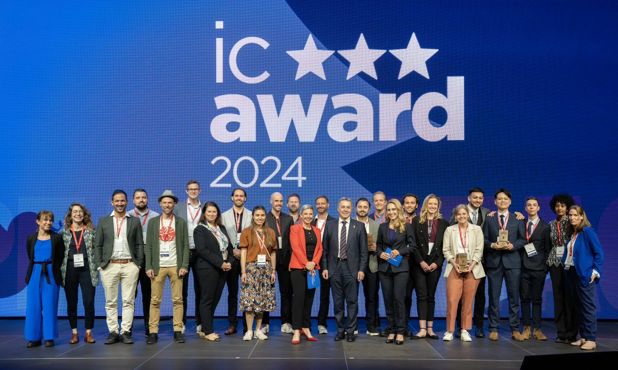
The Ageospatial project aims to enhance the accessibility of geospatial data, particularly in the humanitarian sector, enabling its use in concrete humanitarian operations. Our vision, along with our project GeoForge, has been recognized by the government for its potential to contribute to international peace. This recognition led to us winning the third prize in the IC Award, presented by Federal Councillor Ignazio Cassis.

Ageospatial is a company that uses advanced AI technology to simplify the use of geospatial data. Their AI tools help process and analyze location data easily, making these tools accessible even to those who aren’t experts. Based in Switzerland, Ageospatial focuses on providing solutions that aid in disaster response, environmental protection, and other important areas. They aim to make it easier for organizations and communities around the world to make smart, informed decisions based on detailed location data.

Got questions or interested in a collaboration? I’m always open to discussions and new opportunities in the geospatial technology field. Don’t hesitate to get in touch!
